Boucle Port Pouldon - Port Lost-Kah
Long trekking paths, Short circuit walks, Walks and hikes, Walking/pedestrian
in Locmaria
8.0
km
Loop
Walks and hikes
2h 10min
Hard
-
A loop that alternates between cliffs, valleys, coves, islets, and maritime viewpoints. There's a significant change in elevation, as well as old stones that bear witness to life on Belle-Île in bygone days (mills, villages, fortifications etc.).
- Departure
- Locmaria
-
-
Difference in height
- 256.5 m
-
-
-
Documentation
- GPX / KML files allow you to export the trail of your hike to your GPS (or other navigation tool)
-
- See all reviews
How to reach the start
Climb the eastern side of Port Pouldon to reach Pointe de Pouldon, a Neolithic fortified promontory with the remains of an 18th-century battery.
Steps
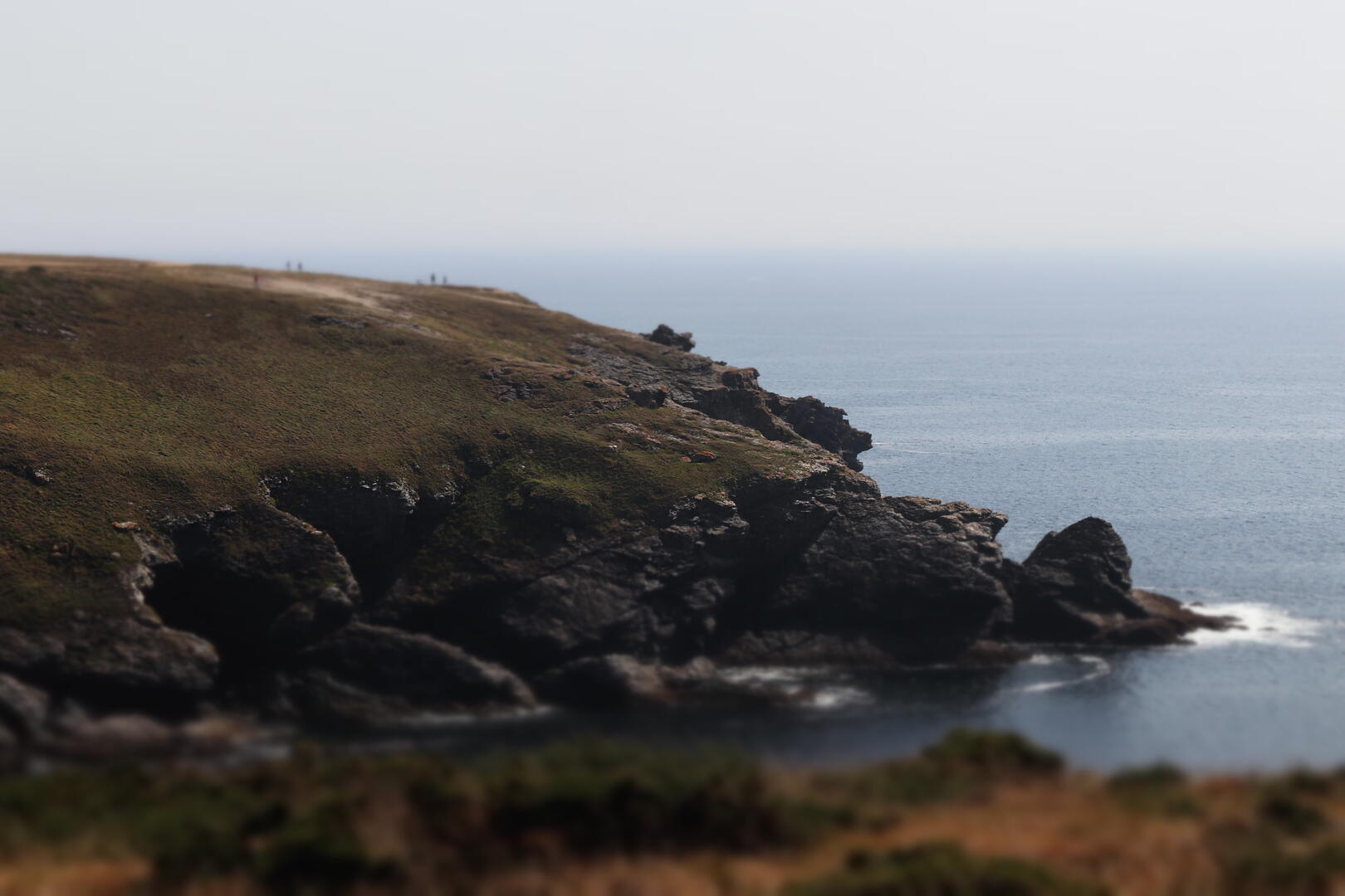
The trail follows the high cliffs eastward. As you emerge from a deep valley, the islet of Bourhic comes into view on the right.
Continue along the cliff edge, then descend into a small valley crossed by a wooden footbridge leading to the cove of Port Loskah.
It was here, in 1746, that the ship Prince de Conti was wrecked on the surrounding reefs, resulting in the loss of its valuable cargo and 161 lives.
Climb back up the valley to the hamlet of Bornor, notable for its stone walls built in a distinctive herringbone pattern.
Follow the paths leading to the Bourhic mill, built in 1768. Its mechanism, which remained in use until 1934, is still intact.
Continue straight to the village of Pouldon, notable for its large longhouse, then descend along a rolling footpath to the port of Pouldon.
- 257 meters of difference in height
-
- Start altitude : 7 m
- End altitude : 17 m
- Maximum altitude : 62 m
- Minimum altitude : 7 m
- Total positive elevation : 257 m
- Total negative elevation : -247 m
- Max positive elevation : 39 m
- Min positive elevation : -26 m