Boucle Port Fouquet - Port Poyed
Walks and hikes
in Le Palais
6.7
km
Loop
Walks and hikes
1h 45min
Easy
- Alerte
-
Along the trail, you will pass through wild areas whose beauty is due in part to the absence of facilities. For this reason, there are no bins, water points, or toilets. You must therefore take all your waste with you (including toilet paper) and ensure you carry enough water before leaving your accommodation.
Please note that since June 2022, walking poles with metal tips have been prohibited along the entire coastal path on Belle-Île. Walking poles without metal tips, or fitted with rubber ends, remain permitted.
These measures have been introduced to reduce trail erosion and damage to vegetation caused by the use of walking poles, and to preserve the quality and long-term sustainability of the path.
The trail is often steep and may be slippery after rain. Wear appropriate footwear, remain vigilant, keep away from cliff edges, and do not leave children or pets unattended.
The trail is open to all forms of pedestrian use, including hikers, walkers, and trail runners. Common sense and courtesy are essential to ensure everyone’s safety.
Help us monitor the trails: info@belle-ile.com
-
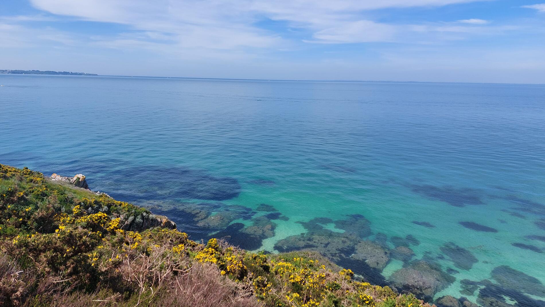
Hike along the inner coast between Port Fouquet and Port Poyed, through heathland and farmland. Inland, wooded valleys allow you to return to Port Fouquet.
- Departure
- Le Palais
-
-
Difference in height
- 194.67 m
-
-
-
Route interest
-
The arch of Port Poyed:
The arches are former sea caves whose back walls collapsed under the force of the waves. In time, the remaining roof will also collapse, forming a small offshore islet. These formations, numerous around Belle-Île, are clear evidence of the gradual retreat of the coastline.
-
-
-
Documentation
- GPX / KML files allow you to export the trail of your hike to your GPS (or other navigation tool)
-
- See all reviews
How to reach the start
From the entrance of the 19th-century fort, take the path to the left and follow it to the cliff edge. A short dead-end path to the right leads to Pointe des Canons and its viewpoint.
Steps
To the left, the coastal path crosses a plateau of cultivated land and wild heath, cut by two small fern-filled valleys. Descend toward the cove of Port Collen, ignoring the path on the left leading up to the holiday village (VVF).
Continue along the coastal trail to the inlet of Port Jean and its beach. Follow the path alongside a wooded property, then descend to the cove of Port Poyed.
Leave the valley via the dirt road and turn left toward the village of Kerbellec. As you enter the village, a narrow dirt path follows a small wooded dell opening into the valley of Port Jean. At the junction, turn right toward Andrestol.
In Andrestol, turn right and join the D30. Turn left, then after 150 metres turn left again toward Quinénec. Continue through Quinénec until reaching the road descending back to Port Fouquet.
- 195 meters of difference in height
-
- Start altitude : 5 m
- End altitude : 6 m
- Maximum altitude : 49 m
- Minimum altitude : 4 m
- Total positive elevation : 195 m
- Total negative elevation : -194 m
- Max positive elevation : 19 m
- Min positive elevation : -21 m